It can get confusing and frustrating at first to figure out public transport (PT) in the Klang Valley (KV) that encompasses Kuala Lumpur and its surrounding townships, but with time, practice — and of course, this guide — you’ll be a pro in no time!
The first step is understanding the different routes, and the kinds of transportation available. In general, the KV has multiple rail transits, buses, taxis, and e-hailing services. But before we get into each kind of PT, let’s look at some general tips and safety concerns.
Planning your route
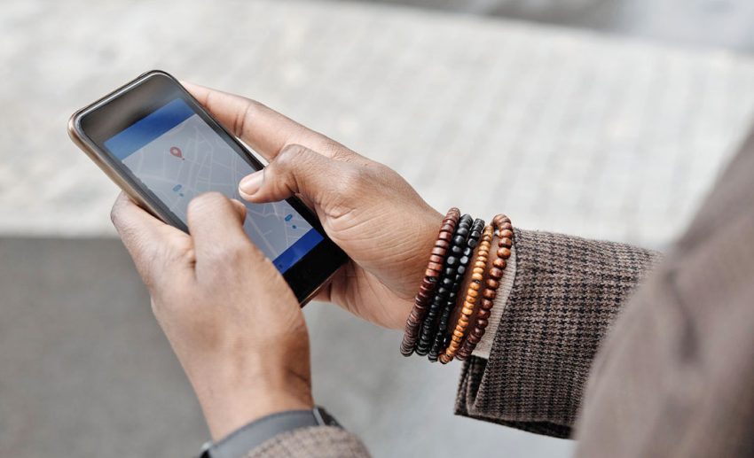
The most common way of figuring out how to get anywhere is to usually start with a simple Google search. Once you’ve located your destination, plan your journey using Google Maps, the Moovit app, MyRapid’s Journey Planner, or the MyRapid PULSE app.
The ‘Transit’ option on Google Maps will show you a few routes — the shortest or fastest route is usually the easiest. If you find yourself confused, don’t worry, it’s okay to feel overwhelmed. We promise it gets easier to understand with this guide. If all else fails, try asking a friendly stranger for directions.
Personal safety
As women, safety is a very valid concern. Here are some tips that will help ease your worries while using public transport:
- Check your device/map in a safe location before you walk on the streets.
- In secluded areas, walk with a friend, or avoid them completely if it’s dark out.
- Carry pepper spray to protect yourself.
- If you’re out while it’s dark, take a trusted e-hailing service instead of walking.
Travel etiquette
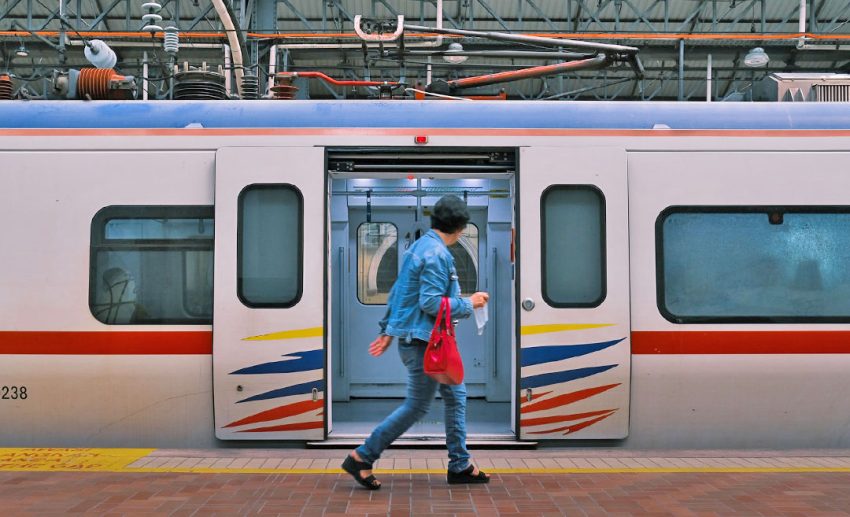
Public transportation is a shared service, and practicing simple etiquette will make everyone’s journey smooth and comfortable. For instance, when a train or bus arrives, wait for others to exit before you enter the vehicle. Once inside, don’t crowd the entrances and exits; move towards the centre or back of the vehicle to make room for others to embark. This is especially important during peak hours.
Priority seats in trains and buses (usually in red, orange, or a different colour) are catered to disabled, elderly, pregnant folks, and persons with infants or children. Even if you aren’t seated in a priority seat, it’s common courtesy to give your seat up to someone who might need it more.
Smoking, eating, and drinking are not allowed at all stations, platforms, and of course, on board trains and buses. This is to help keep our public transport environment clean and pleasing for everyone to use. For more information on general travelling etiquettes, visit MyRapid’s website, here.
Money matters
For payment methods, the Touch n’ Go (TnG) card is commonly used for cashless payments. If you hold a Malaysian Identification Card (IC), your IC can be used as a TnG card. Otherwise, you can purchase a TnG card from RapidKL’s Customer Service Counters at MRT, LRT, Monorail, and BRT stations. If you’d like to pay by cash at rail transits, tokens can be purchased at the stations’ Customer Service Counters or the Ticket Vending Machines.
If you’re taking PT regularly, the My50 RapidKL travel package will help you save some money. It is a travel pass that offers you 30 days of unlimited rides across all RapidKL LRT, MRT, Monorail, BRT, RapidKL Buses, and MRT feeder buses in the KV. Concession cards are also available for the disabled, elderly folks, and students, which entitles you to a 50% fare discount on all RapidKL rides. There are also travel passes for tourists and family group rides like the MyCity Pass and Kelurga Malaysia Pass.
Rail transits
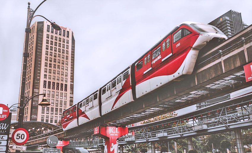
Now, let’s get down to the nitty-gritty. Rail transits connect many major parts of the KV and is the most convenient form of public transport besides e-hailing. If you’re travelling using only rail transits, this Klang Valley Integrated Transit Map is all you’ll need. All railway lines are shown on the map, and you’ll be able to see where each line intersects with each other.
Here are some common terms to help you understand rail transit routes better:
- Line: The rail transit/route you’re taking. For example, Kelana Jaya line.
- Interchange station: Stations that cater to more than one railway route, and allow passengers to change from one line to another, usually without having to exit the station.
- Connecting station: Similar to interchange stations, but may require passengers to exit the station and walk to a nearby rail transit.
- Terminal station: The last station on both ends of a route. The way-finding signages at train stations will usually show the terminal station in the direction you’re heading. For example, if you’re going to KLCC from KL Sentral, take the train that goes towards Gombak station. Vice versa, if you’re going to Kelana Jaya from KL Sentral, take the train that goes towards Putra Heights.
Now that you understand rail transit routes a little better, it’s also good to know that there are two main railway service providers in the KV:
- MyRapid (runs the LRT, MRT, and Monorail lines): RapidKL train services are timely, but do expect technical difficulties from time to time. Service statuses can be tracked using the MyRapid PULSE app.
- KTM Berhad (runs the KTM Komuter lines): KTM train schedules can be found here — train frequencies can run between 20 minutes to an hour, so we’d advise you to check the train schedule beforehand to plan your journey.
Last but not least, here’s the list of rail transits available in the Klang Valley:
Monorail KL
Covers: Kuala Lumpur (KL) city areas (Eg. KL Sentral, Bukit Bintang, Chow Kit, Titiwangsa)
Terminal stations: KL Sentral, Titiwangsa
Interchange stations: Hang Tuah, Titiwangsa
Connecting stations: KL Sentral, Bukit Bintang, Bukit Nanas, Medan Tuanku
Check train frequency and operating hours here.
LRT Kelana Jaya
Covers: The line runs from Putra Heights to Subang and Petaling Jaya areas, passing through KL City, and heads towards Gombak.
Terminal stations: Putra Heights, Gombak
Interchange stations: Putra Heights, USJ 7, Pasar Seni, Masjid Jamek,
Connecting stations: Subang Jaya, KL Sentral, Pasar Seni, Dang Wangi
Check train frequency and operating hours here.
LRT Sri Petaling
Covers: Continuing from the Kelana Jaya line, LRT Sri Petaling runs from Putra Heights to Puchong areas, towards Bukit Jalil and Bandar Tasik Selatan, passing by Cheras into KL City, and ends at Sentul Timur.
Terminal stations: Putra Heights, Sentul Timur
Interchange stations: Putra Heights, Chan Sow Lin, Hang Tuah, Plaza Rakyat, Masjid Jamek, Titiwangsa
Connecting stations: Bandar Tasik Selatan, Sultan Ismail
Check train frequency and operating hours here.
LRT Ampang
Covers: The Ampang LRT starts from Ampang and Cheras areas, going into KL City and Sentul.
Terminal stations: Ampang, Sentul Timur
Interchange stations: Maluri, Chan Sow Lin, Hang Tuah, Plaza Rakyat, Masjid Jamek, Titiwangsa
Connecting stations: Sultan Ismail
Check train frequency and operating hours here.
MRT Kajang
Covers: Starting from Sg. Buloh area, going into Bandar Utama and Damansara, passing through KL City, then into Cheras and Kajang areas.
Terminal stations: Kwasa Damansara, Kajang
Interchange stations: Kwasa Damansara, Pasar Seni, Merdeka, Maluri
Connecting stations: Muzium Negara, Pasar Seni, Bukit Bintang, Kajang
Check train frequency and operating hours here.
MRT Putrajaya
Covers: This MRT line starts at Kwasa Damansara, passing through Sungai Buloh, Damansara Damai, Sri Damansara, and Kepong areas, heads into Sentul and KL, then passing through Serdang, and eventually ending at Cyberjaya and Putrajaya Sentral.
Terminal stations: Kwasa Damansara, Putrajaya Sentral
Interchange stations: Kwasa Damansara, Titiwangsa, Tun Razak Exchange, Chan Sow Lin, Sungai Besi,
Connecting stations: Sungai Buloh, Sri Damansara Timur, Kampung Batu, Ampang Park, Putrajaya Sentral
Check train frequency and operating hours here.
BRT Sunway
Covers: Although not a train, this Bus Rapid Transit operates on its designated roadway and is part of the Klang Valley Integrated Transit System. It services the southeast suburb of Petaling Jaya, which is the Sunway area.
Terminal stations: Sunway-Setia Jaya, USJ 7
Interchange stations: USJ 7
Connecting stations: Sunway-Setia Jaya
Check the BRT frequency and operating hours here.
KTM Tanjung Malim-Pelabuhan Klang
Covers: Starting from the Perak/Selangor border, the train passes through Rawang into Sungai Buloh and Kepong, going through KL City, then into Subang and Shah Alam before heading towards Klang.
Terminal stations: Tanjung Malim, Pelabuhan Klang
Interchange stations: Putra, Bank Negara, Kuala Lumpur, KL Sentral
Connecting stations: Sungai Buloh, Putra, Bank Negara, Kuala Lumpur, KL Sentral, Setia Jaya, Subang Jaya
Check train times here.
A separate route map just for KTM Komuter lines can be found here.
KTM Batu Caves-Pulau Sebang
Covers: This train runs from Batu Caves, passing through Sentul and KL, into Serdang and Kajang, then through Nilai, goes into Seremban, and ends at the Malacca/Negeri Sembilan Border, Pulau Sebang.
Terminal stations: Batu Caves, Pulau Sebang/Tampin
Interchange stations: Putra, Bank Negara, Kuala Lumpur, KL Sentral
Connecting stations: Putra, Bank Negara, Kuala Lumpur, KL Sentral, Bandar Tasik Selatan,
Check train times here.
A separate route map just for KTM Komuter lines can be found here.
Buses
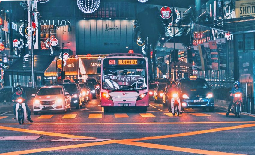
Now, on to KV’s buses. Although they are dependable most of the time, their frequencies are highly dependent on traffic conditions. Expect delays, and plan ahead if going somewhere new. Each bus route has a number, and that number will be displayed at the top front of buses together with the name of the terminal station.
At most bus hubs, an informational display will show the bus routes and their estimated time of arrival. Most bus services have mobile applications to help track bus locations now— which we’ll mention in the list below.
Take note that all RapidKL buses only accept TnG cashless payments, so having a TnG card will be handy if you’ll be taking these buses often. However, Omnibus Selangor buses still use a standard cash ticketing system. After you’ve boarded the bus, a bus conductor will approach you for payment and you’ll be handed a physical ticket.
RKL Rapid Mobility
Although in fact a van, the RKL Rapid Mobility is a public transport ‘door-to-door’ service provided by RapidKL to folks with disabilities. These vans are fitted with a hydraulic lift, giving passengers with wheelchairs ease of boarding.
For more information on service coverage area, operating hours, and booking, visit the website here, or the FAQ section under Rapid Mobility in Klang Valley. We have not personally tried RKL Rapid Mobility, but would love to hear from anyone who has experienced this service before.
RapidKL Buses
Check RapidKL Bus routes here.
Track bus location: MyRapid PULSE app
MRT Buses
The MRT buses services passengers to and from MRT Kajang line stations.
Check MRT Bus routes here.
Track bus location: MyRapid PULSE app
GoKL Buses
GoKL is a free bus service managed by Kuala Lumpur City Hall (DBKL). Their buses are not numbered, but are named by colour. For example, the GoKL Green Line services the Suria KLCC and Bukit Bintang areas. Pay attention to the name of the bus when boarding.
Check GoKL Bus routes here.
Track bus location: GoKL app (Get it on Google App Store or Apple App Store.)
PJ City Buses
This free bus service has six routes in the Petaling Jaya (PJ) area, with bus stations conveniently located at LRT Taman Bahagia and LRT Taman Jaya.
Check PJ City Bus routes here.
Track bus location: PJ City Bus app (Get it on Google App Store or Apple App Store.)
Smart Selangor Buses
The Smart Selangor Buses started implementing a ‘Scan-to-Ride’ feature in 2021. You’d have to download the CEpat app beforehand and register an account for yourself. Remember to scan the QR code using the CEpat app when you board and when you leave the bus. This bus service is free for Malaysians, while an RM0.90 fee is charged to non-Malaysian passengers.
Note: We’ve seen some frustrated netizens having trouble registering on the CEpat app. While some have had luck showing their Malaysian IC to board the bus, some were denied boarding if they did not have the app. We’d encourage you to download the app before attempting a journey, or find an alternative mode of transportation.
Check Smart Selangor Bus routes here.
Track bus location: Smart Intelligent Transport System (SITS) app
Selangor Omnibus
Check Selangor Omnibus routes here.
Taxis & e-hailing
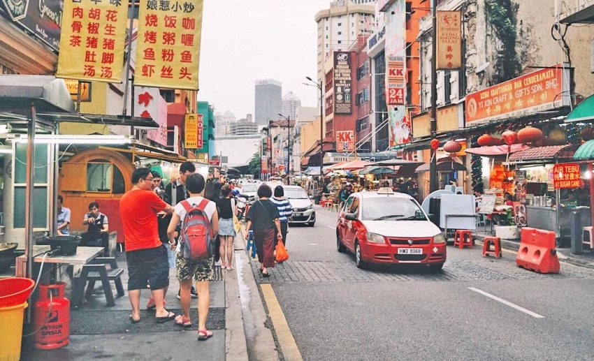
This mode of public transportation probably needs no introduction. There are many ways to book a ride in the KV via e-hailing. Some of the apps we know and frequently use ourselves are Grab, Gojo, and AirAsia Ride. Of course, there’s also the good ol’ wave-down-a-taxi method to take a metered ride. Most e-hailing apps will also have the taxi option if you’d like to utilise that.
Just be sure that your cabbie uses the meter as sometimes they may try to set an exorbitant flat fee to take you where you want to go. This occurs especially at tourist-heavy locations (such as in front of Pavilion KL), so just ask your driver if they’re using the meter before you hop in.
Well, we hope that was sufficient information to get you started on your public transport journey (literally and metaphorically). All the best and stay safe!
